The blooming of Hardangerfjorden from space

By laraf | Wed, 06/03/2020 - 12:47

Also this year the fjords in western Norway are giving a spectacular show which can be enjoyed from the sky.
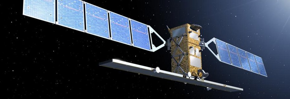
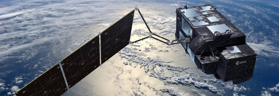
Sentinel-2 passing over Hardangerfjord at the end of May was catching the blooming of the Emiliania huxleyi algea which
is turing the water inside the fjord turquoise. This alga is harmless and is found in almost all ocean ecosystems from the equator to
sub-polar regions, with bools that are particularly visible in the Norwegian fjords.

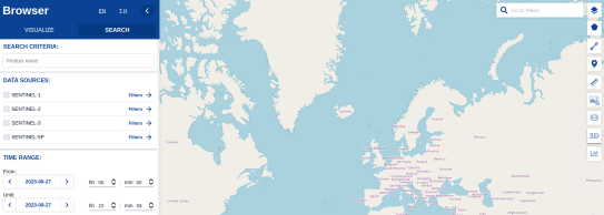
Satellittdata is providing several tools and functionalities for users to views these kind of events.

National Sentinel-2 Mosaic

By trygveh | Tue, 03/31/2020 - 09:08

The Norwegian Mapping Authority (Kartverket) has produced a cloud free national mosaic from Copernicus Sentinel-2 Level-2A data which has free access and is openly available. The dataset is found here. The mosaic is composed of Sentinel-2 data from June 30 to July 31, 2018. The mosaic consists of the frequency bands B2 to B8, B8A, B11, and B12. The data type is unsigned integer 16. Ancillary vector data is included yielding the dates for the individual tiles.

Magazine with special issue on satellite data

By trygveh | Thu, 01/09/2020 - 09:33

A new issue on the magazine "Posisjon" - a magazine edited by GeoForum - was published late 2019. The topic of the issue was "satellite data". The articles was in general focusing on the Copernicus satellites and applications derived from their measurements like detection and characterization of snow, floods, vulcanic ash, forestry, etc.