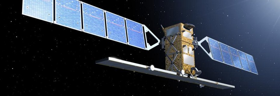
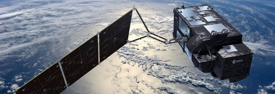
Norwegian National Ground Segment for Satellite Data
Access Copernicus Sentinel Data for Norwegian Area of Interest

Data access
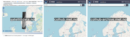
Three data access portals are available in the NBS project: i) satellittdata.no, ii) colhub.met.no, and iii) colhub-archive.met.no.
i) satellittdata.no is focusing on accessing data through OPeNDAP, which is a protocol that allows data streaming. In other words, products are not required to be downloaded, but can be accessed without disk access. Such workflows enables server-side data reduction and enables agile data access patterns, among others. Currently, Sentinel-1 and Sentinel-2 products are available.
ii) colhub.met.no contains global coverage of Sentinel-1, Sentinel-2, Sentinel-3, and Sentinel-5p for the latest 14 days in the original SAFE format.
iii) colhub-archive.met.no contains regional coverage of Sentinel-1, Sentinel-2, Sentinel-3, and Sentinel-5p for the entire archive of the respective missions.
CDSE
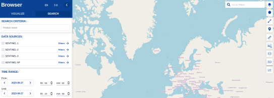
The Copernicus Data Space Ecosystem (CDSE) is the official entry point to all Copernicus Sentinel data processed by ESA.
All images should be credited: /Copernicus Sentinel data (year)/