Unexpected downtime colhub.met.no
- Read more about Unexpected downtime colhub.met.no
- Log in or register to post comments
 A new issue on the magazine "Posisjon" - a magazine edited by GeoForum - was published late 2019. The topic of the issue was "satellite data". The articles was in general focusing on the Copernicus satellites and applications derived from their measurements like detection and characterization of snow, floods, vulcanic ash, forestry, etc.
Recently, a peer-review publication describing the underlying concept and Data Manangement system for satellittdata.no was published. The research paper is entitled The Norwegian National Ground Segment; Preservation, Distribution and Exploitation of Sentinel Data.
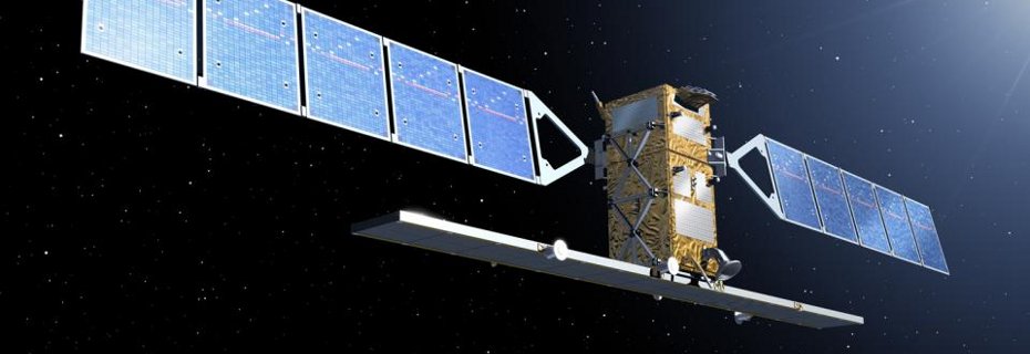
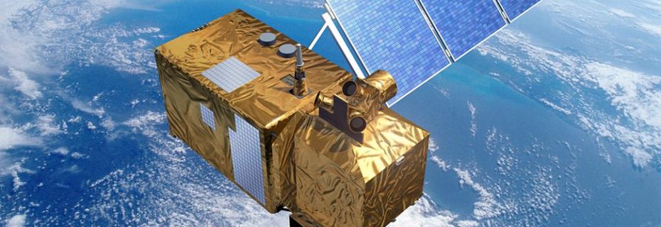
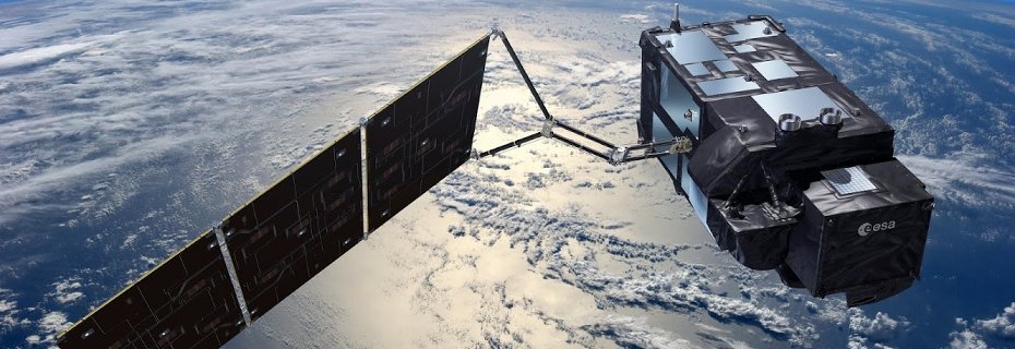
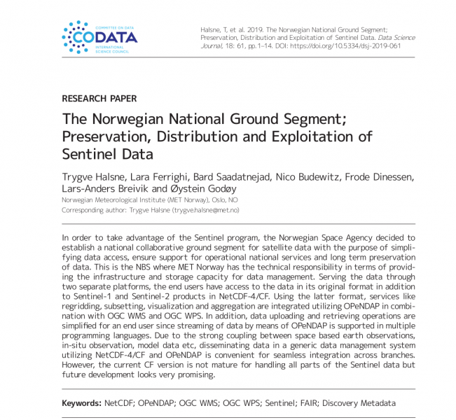
Three data access portals are available in the NBS project: i) satellittdata.no, ii) colhub.met.no, and iii) colhub-archive.met.no.
i) satellittdata.no is focusing on accessing data through OPeNDAP, which is a protocol that allows data streaming. In other words, products are not required to be downloaded, but can be accessed without disk access. Such workflows enables server-side data reduction and enables agile data access patterns, among others. Currently, Sentinel-1 and Sentinel-2 products are available.
ii) colhub.met.no contains global coverage of Sentinel-1, Sentinel-2, Sentinel-3, and Sentinel-5p for the latest 14 days in the original SAFE format.
iii) colhub-archive.met.no contains regional coverage of Sentinel-1, Sentinel-2, Sentinel-3, and Sentinel-5p for the entire archive of the respective missions.
The Copernicus Data Space Ecosystem (CDSE) is the official entry point to all Copernicus Sentinel data processed by ESA.
All images should be credited: /Copernicus Sentinel data (year)/
We do not use any analytics or advertising services.